I’m not sure how many people know about it, but many states, national parks, national monuments, and other areas have webcams set up. These are free to use for the public and some of them have spectacular views.
The following pictures are camera shots taken from cams operated by the US Park Service at Glacier National Park in Montana. The time the pictures were taken are noted at the top of the picture (a little after 8 am local time) and all of this group were taken on the morning of October 19, 2018, with sunrise imminent in all but the last one.
I thought that perhaps people might enjoy seeing what dawn looks like at Glacier. The snow in the images is a testament to the early arrival of winter weather in the Rockies.
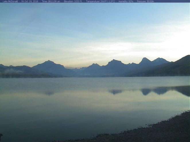
Dawn over Lake McDonald
This is Lake McDonald at dawn. This picture captures the spectacular view just as a new day is beginning. The temperature at the lake was below 30 F and this picture is taken at an altitude of 3,153 feet.
It is easy to see why this is one of the biggest draws in the park. A lot of park visitors are stunned by the sheer beauty.
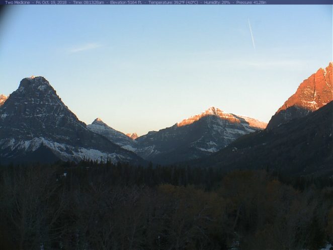
Two Medicine
This is Two Medicine. One of the interesting things about this picture is that though it came from almost the same time as the picture of Lake McDonald above, it was almost 10 degrees F warmer here than at Lake McDonald. The elevation here is 5,164 feet, about 2,000 feet higher than Lake McDonald, yet it is well above freezing here.
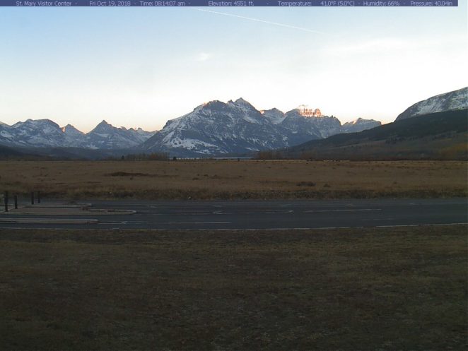
St. Mary Visitor Center
This is the view from St. Mary Visitor Center in Glacier National Park. The gorgeous mountains are stunning and rugged. In keeping with the last picture, although the altitude is 4,551 feet, the temperature when this was taken was 41 F. That is even warmer than at Two Medicine and substantially warmer than at Lake McDonald, though the elevation is greater than that of Lake McDonald.
Grinnell Point
This is Grinnell Point and Swiftcurrent Lake. The elevation is 4,878 feet and the temperature is 38 F. Notice the striations on the mountains. These are the bands or lines that move in a diagonal line across the cliff face, shown clearly by the snow.
When the rock was originally laid down, long ago, those lines would have been horizontal. This gives a good visual to show the main way that the Rockies were formed. That is, they were "scrunched up". It is the sort of thing that happens if you push opposite sides of a piece of paper toward the center, causing the middle of the paper to rise.
Paper is limber, though, and rock is rigid. The process of upheaval caused the rock to break and since it was pushed up at different speeds and by different amounts, the once horizontal layers of rock are displayed at an angle. Most of this rock is actually sedimentary, laid down long ago as sediments on the bottom of a vast inland sea that once covered most of what is now the US.
The contrast between the formation of the Cascade Mountains near the west coast of the US is remarkable. The Cascades were formed volcanically.
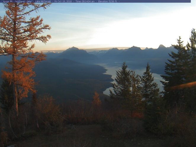
Apgar Mountain
This spectacular view from high on Apgar Mountain is to the northeast, over Lake McDonald. The elevation is 5,236 feet. Although this picture was taken only about 3 minutes after the first picture, which was from the shore of Lake McDonald, in the distances and beyond the Mission Mountains, you can see that it is already sunny. Most of this image is still in shadow because the sun hasn't yet fully crested the mountaintops. The sunny area in the distance is so far away that it isn't in the shadow of the mountains.
Here comes the sun
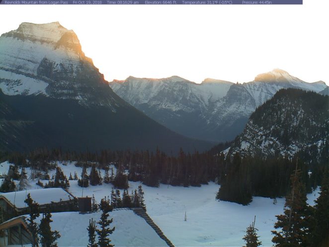
Reynolds Mountain
This is the view from Logan Pass of Reynolds Mountain. The altitude here is 6,646 feet. However, it is unusual to have this much snow here this early in the year. The temperature here is 31 F. when this was taken and that was about 3 hours ago, so by now, the air is probably above freezing.





waoo, so beautiful photo.
picturesque and wonderful indeed Rex this is tranquil